Four ways we put a camera in the air
Every service below is flown by a FAA Part 107 certified remote pilot, fully insured, across the Dallas–Fort Worth Metroplex.
Roof Inspections
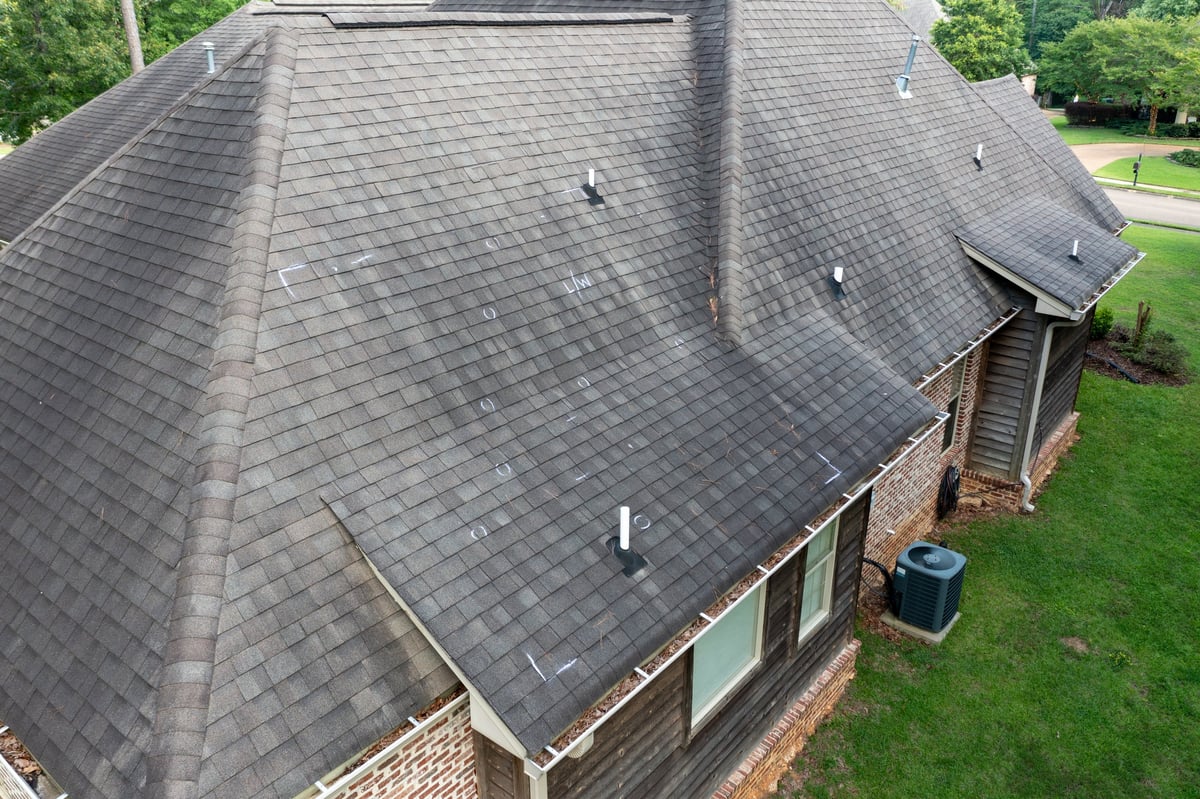
See the whole roof without putting anyone on it.
High-resolution aerial imagery of roof condition, storm and hail damage, and the areas that are slow or unsafe to reach on foot. Every capture is framed to show what matters — damaged shingles, flashing, penetrations, and drainage — and delivered labeled so it can go straight into a report.
Who It's For
- Roofing contractors
- Insurance adjusters
- Homeowners
- Property managers
What's Delivered
- High-resolution stills of each roof plane
- Close-up documentation of damage areas
- Wide shots showing the full roof in context
- Organized, clearly labeled image files
Real Estate Photography & Video
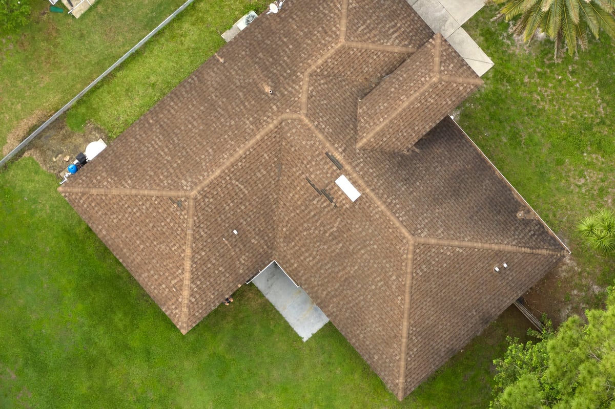
Show the property, the lot, and the neighborhood.
Listing-ready aerial photos and cinematic video that put a property in its full context — the lot lines, the surroundings, the access, and the setting that ground-level photos can't communicate. Built for listings that need to stand out in a crowded DFW market.
Who It's For
- Real estate agents
- Brokers
- Home builders
- Sellers
What's Delivered
- Aerial stills of the property and lot
- Cinematic flyover video
- Neighborhood and location context shots
- Web-ready and print-ready file formats
Aerial Mapping & Site Documentation
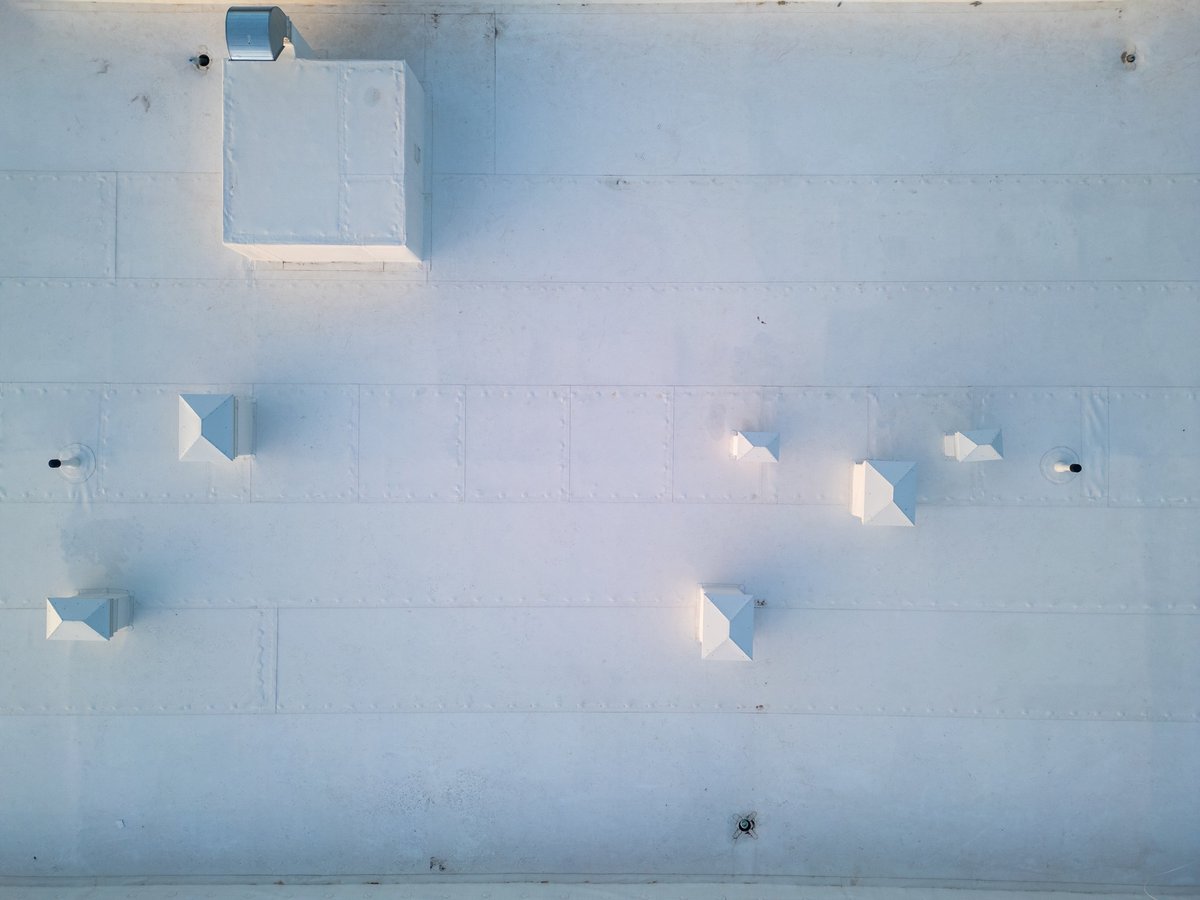
A record of the site as it actually is.
Overhead orthomosaic maps and progress imagery for construction sites, land parcels, and commercial properties. Useful for tracking work over time, documenting existing conditions, and giving stakeholders a shared view of the site without a site visit.
Who It's For
- Builders
- Developers
- Landowners
- Commercial property owners
What's Delivered
- Orthomosaic overhead map of the site
- Progress imagery over time
- Parcel and boundary context views
- Organized documentation set per flight
We provide aerial imagery and site documentation. We do not perform licensed land surveying or boundary certification.
Request a Flight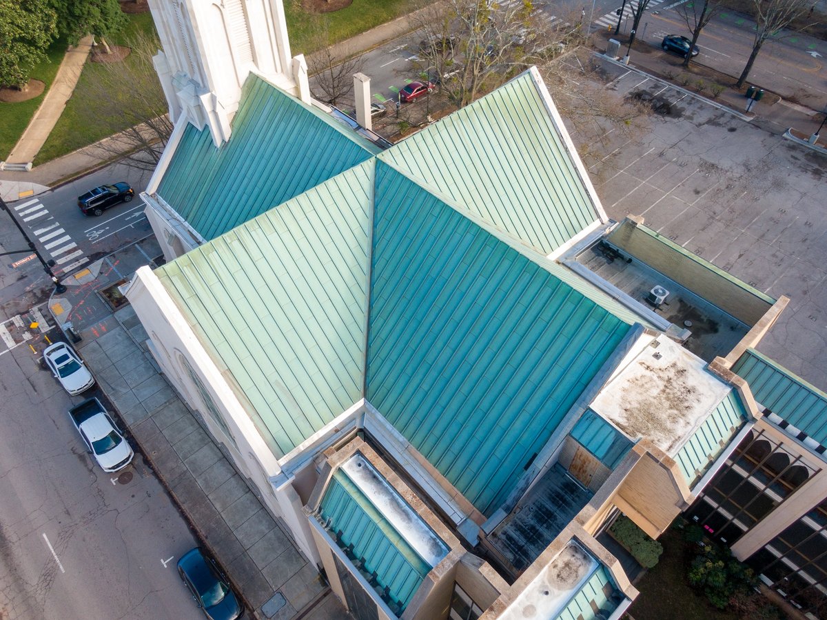
Aerial Video Production
Movement, scale, and a view nobody else has.
360° and cinematic aerial footage for marketing, events, and promotional content. Whether it's a commercial spot, an event recap, or a brand piece, aerial footage adds scale and motion that ground cameras can't match.
Who It's For
- Businesses
- Marketing teams
- Event organizers
- Organizations
What's Delivered
- Cinematic aerial video footage
- 360° immersive capture where useful
- Edited clips ready for web and social
- Raw footage available on request
From request to delivery
Request
Tell us the property, the service you need, and what you're trying to document.
Flight Planning & Airspace Check
We check airspace, weather, and site conditions, and confirm the shot list before we fly.
Mission Flown
On the scheduled day, flown Part 107 compliant with a safety-first approach to people and property.
Data Delivered
Organized, labeled imagery and video delivered fast — ready for your report, listing, or team.
Not sure which service you need?
Describe the project and we'll point you the right direction. No obligation.